

Exploring Local - MYT Hikes Shrine Ridge, Vail Pass, Co
Exploring Local - Hiking Shrine Ridge, Vail Pass, Co

STORMY VIEWS FROM SHRINE RIDGE NEAR VAIL PASS, CO

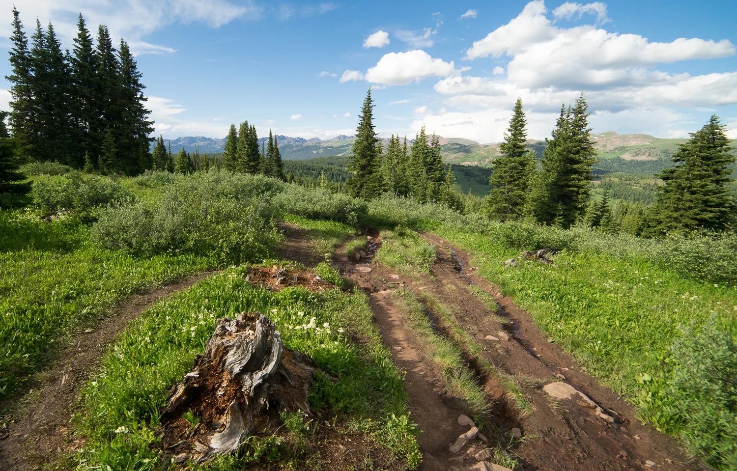
THE BEGINNING OF THE HIKE // SHRINE RIDGE, VAIL PASS, COLORADO
Recently we drove up to Vail Pass and hiked a favorite spot of mine - Shrine Ridge trail an awesome hike for visitors and natives alike offering a mellow trail, sweeping 360 degree views and bounties of wild flowers. This trail is also dog friendly and the trail head is located near the Shrine Mountain Inn (which can be seen by clicking here). Exit for Vail Pass rest area then head towards the dirt road titled Shrine Ridge Road - head up this decently bumpy road about 3.0 miles until you reach the trail head located next to the Shrine Mountain Inn. Make sure your car can handle the dirt road before heading up - we seemed fine in my Subaru but an SUV would have served as a better ride. You will see bathrooms at the trail head - to confirm you are in the right place. The beginning of this trail can be particularly muddy so prep yourself with some older hiking shoes or boots. Once you get thru the marshy beginning the rest of the hike truly pays off.

You will climb thru various wild flower patches and pass underneath a variety of fresh smelling pine trees - keep going as the trail gradually climbs for a couple miles. You will pass a variety of tree stumps as you stroll along and count the endless patches of Colorado's finest wild flowers.
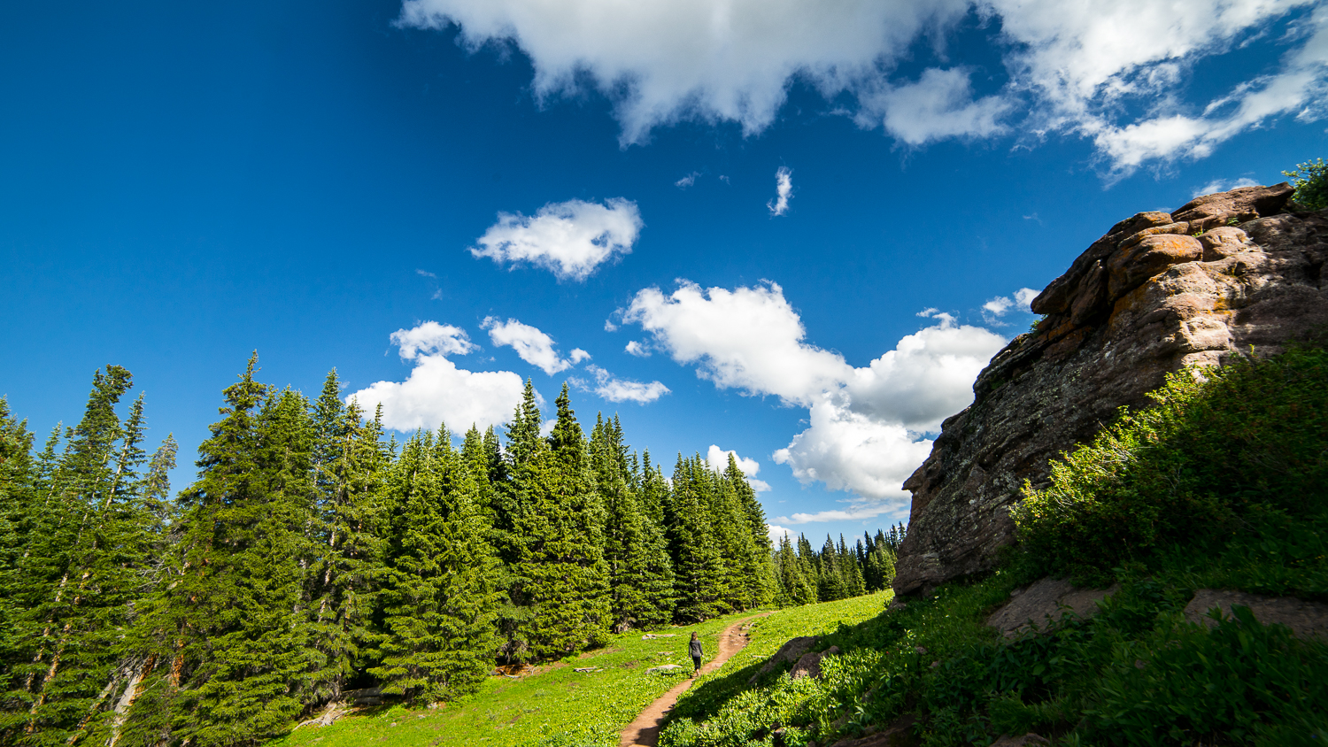
TREELINE ALMOST AT THE TOP // EMILY SEEN HERE HIKING DOWN, SHRINE RIDGE
I recommend this hike to people visiting Colorado perhaps afraid of altitude sickness or extreme hikes such as 14ers - you can make this hike 7 miles long (at the top the option exist to hike all the way left and all the way right then back down) or it can easily be a 3 mile out and back once the top is reached. Prepare some extra time for photos at the top, this hike is rather exposed so wear sun screen if needed and keep an eye out for incoming and passing storms you DO NOT WANT TO BE ON TOP OF VAIL PASS DURING ANY KIND OF SKETCHY WEATHER. If you see, hear or guess there to be lighting in the vicinity its time to hike down and get to the safety of your vehicle. Here's a panoramic image I was able to grab from the top -
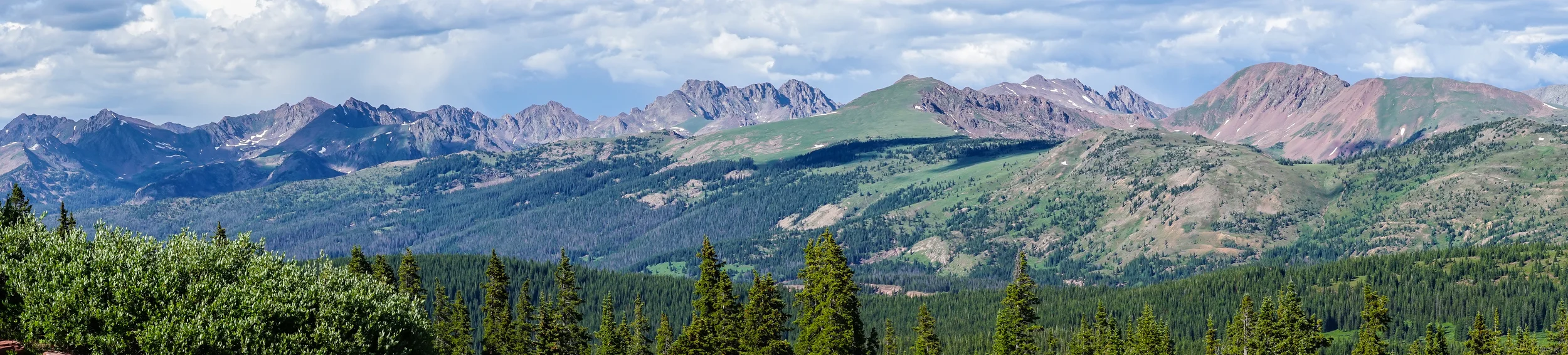
PANO by frankieboyphotography.com
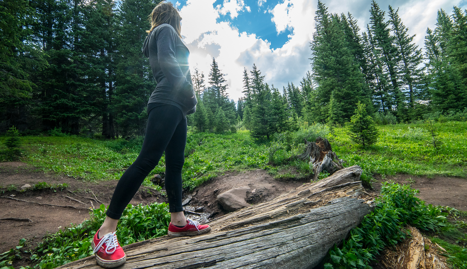
Finish your power snack and drink plenty of water at the top while you prepare to hike down - you have the option of walking the entire ridge line, I prefer to go right at the top if time is limited and if time isn't limited challenge yourself to conquering the entire ridge. The hike down is very mellow as it is the same trail you walked to go up to the top - in total this hike can range between 3 miles - 7 miles and can take anywhere from 1.5 hours to 4 hours. Thanks for reading another Exploring Local hike review - is there a hike you think we should tackle? Leave us any hike suggestion in the comments section below. Here's a few more images from the hike
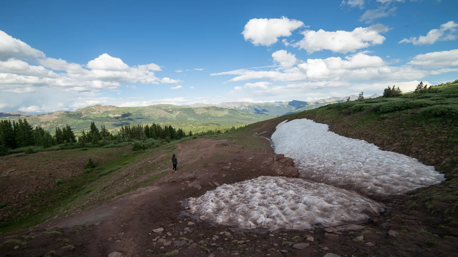
SNOW AT THE TOP OF VAIL PASS
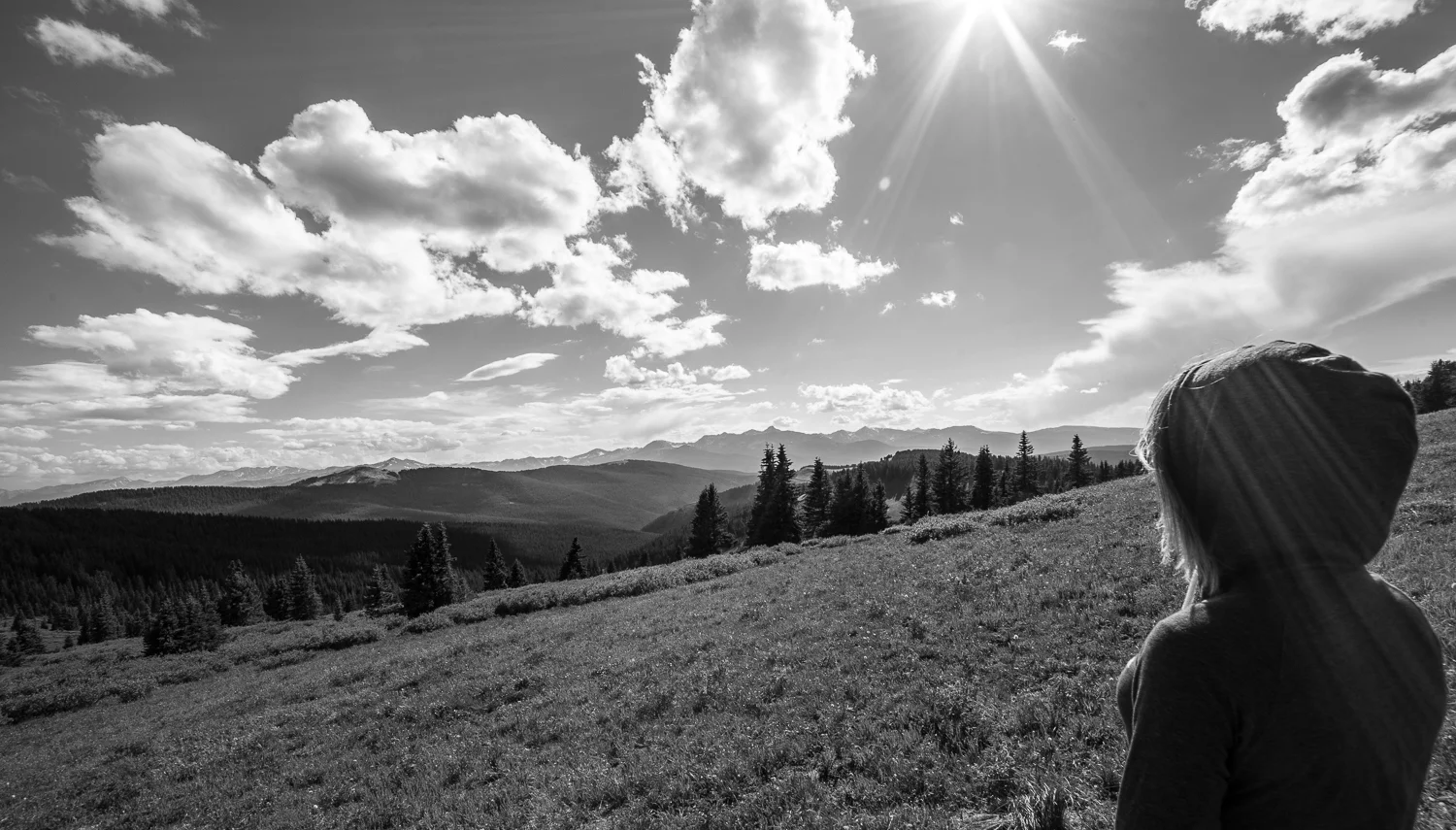
BLACK AND WHITE // FRANKIEBOYPHOTOGRAPHY.COM
“NEVER STOP EXPLORING”